Our drone and AI platform delivers targeted solutions across health, agriculture, mining, climate change, and other sectors.
Choose your sector below for detailed solutions.
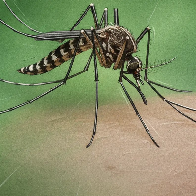
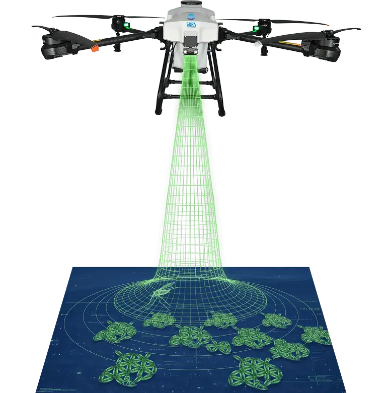
Health
INTELLIGENCE ROOM
MALARIA | DENGUE
Malaria Control
LSM - Larval Source Management
Dengue
Surveillance & Control
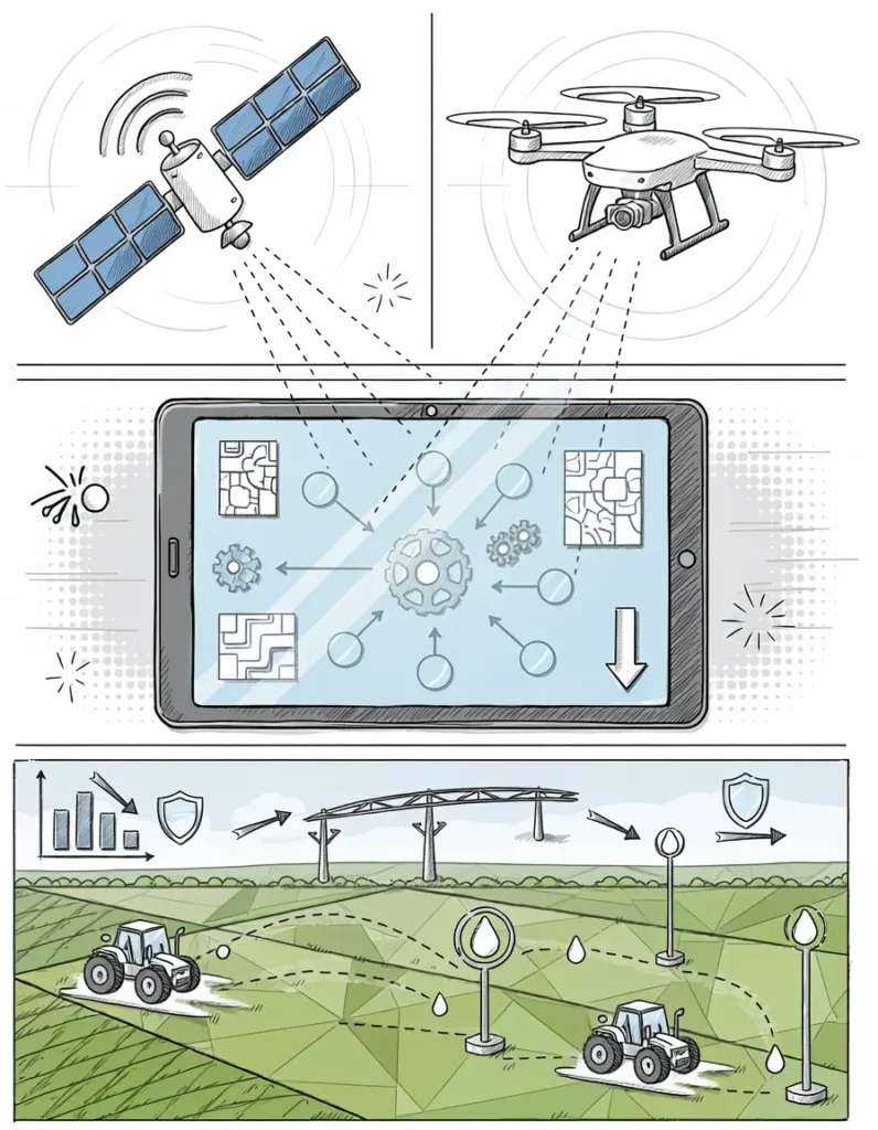
Agriculture
INTELLIGENCE ROOM
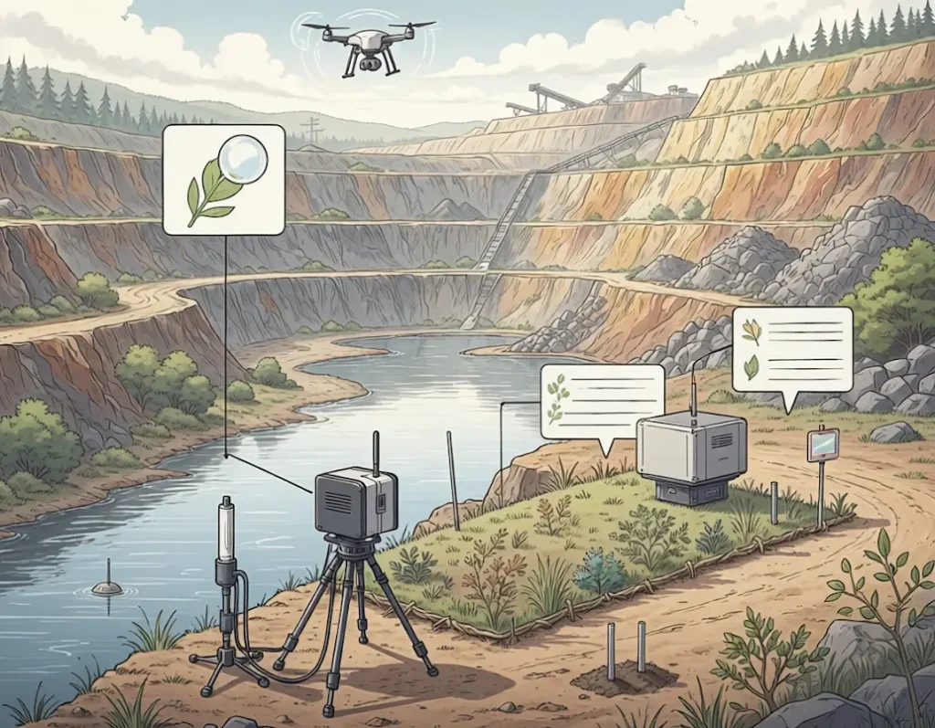
Climate
INTELLIGENCE ROOM